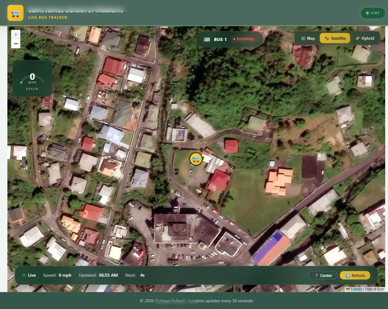
Custom-built real-time GPS tracking for school bus fleets.
Bus Tracker is a custom-built real-time GPS tracking application designed to help students and parents see exactly where the school bus is at any moment. The application displays a live interactive map with automatic position updates, speed readings, and connection status - all accessible from any device with a browser.
Bus position updates automatically at regular intervals with smooth marker animation on the map.
Switch between street map, satellite imagery, and hybrid view with labels.
Live speed readings, last update timestamps, and connection status indicators at a glance.
Protected analytics panel with visitor stats, traffic trends, and data export for administrators.
Powered by Leaflet with OpenStreetMap and ESRI satellite tiles. Responsive across desktop, tablet, and mobile.
Bus marker transitions smoothly between position updates for a natural, real-time feel on the map.
Location updates arrive continuously in the background. No manual refresh needed to see the latest position.
Visual indicators show whether the feed is live, stale, or experiencing an error so users always know the data state.
Connects to a GPS data source to retrieve accurate, real-time vehicle position and telemetry data.
Built with redundancy so users always see the most recent known position, even during intermittent connectivity.
Admin-only panel with usage statistics, traffic trends, and exportable reports.
Administrators can export analytics data to CSV for reporting and record keeping.
Visitor analytics are collected without storing personally identifiable information.
Works on any screen size. Students can check the bus location from their phone, tablet, or laptop.
A custom-built solution deployed and in active use at an educational institution.